


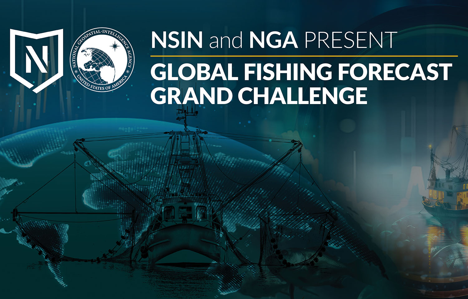
The United States National Geospatial-Intelligence Agency (NGA) and the National Security Innovation Network (NSIN) have announced 10 finalists for the Global Fishing Forecast Grand Challenge.
The challenge, launched in January, aims to incentivize the creation of innovative approaches that help combat illegal, unreported, and unregulated (IUU) fishing activities by better forecasting industrial fishing patterns.
The selected finalists offered a range of potential solutions, including the incorporation of data sources, data visualization, risk analysis, remote sensing, and artificial intelligence and machine learning.
The finalists each received a USD 25,000 (EUR 24,000) cash prize for reaching this stage of the competition.
“Knowing where industrial fishing may occur in the future provides an advantage when allocating limited resources, ranging from maritime enforcement to space-based observing systems to detect and track vessels of interest that may be involved in IUU fishing,” Mike Brady, an NGA research scientist and Forecast Grand Challenge program manager, said.
An interagency panel of experts selected the finalists via a double-blind review of proposed forecast methods and concepts of operations submitted by applicants.
In the next phase of the challenge, the 10 finalists will pitch the proposed forecasting solutions they have developed to the interagency judging panel.
After that round of pitches, the panel will select the top three winners later this summer. The first place solution will receive USD 500,000 (EUR 462,000), second place will receive USD 200,000 (EUR 185,000), and third place will receive USD 50,000 (EUR 46,000).
The 10 finalists from Phase 1 are:
- The Allen Institute for Artificial Intelligence, which was created by the late Paul G. Allen – a co-founder of Microsoft – and specializes in artificial intelligence research and development (R&D) across multiple sectors, including maritime solutions;
- Athenium Analytics, which leverages artificial intelligence-enabled imagery analytics, predictive models, and proprietary risk scores to identify and manage risk;
- Esri, which takes a geographic approach to problem-solving by using geographic information system software, location intelligence, and mapping;
- Jataware Corp., which provides technology research and digital solutions for problems that have been deemed a priority by governmental and commercial entities;
- Orbital Insight, which uses artificial intelligence-powered geospatial analytics and location data to query activity and determine where and when it occurs;
- PierSight, which develops specialized airborne and spaceborne imaging solutions for persistent ocean surveillance;
- PolArctic, which employs artificial intelligence and machine learning techniques to plan future maritime activities, primarily in the Arctic;
- Misram, in collaboration with Reverie Venture, which conducts R&D to push innovation in 5G, mobile-edge computing, cognitive networking, and AI-driven video and data analytics;
- Sync Layer, which leverages data visualization technology to provide comprehensive analysis of large volumes of data; and
- The University of Miami’s Center for Southeastern Tropical Advanced Remote Sensing, which uses civilian synthetic aperture radar, electro-optical and other remote sensing satellite data for environmental monitoring of hurricanes, volcanoes, landslides, and other natural or manmade disasters.
Because of IUU fishing’s impact on fisheries and ecosystems, coastal economies, food systems, and food security globally, these solutions bring federal agencies a unique value to the fight against illegal fishing, the NGA said.
The Global Fishing Forecast Grand Challenge is part of a larger focus at the NGA, which provides geospatial intelligence data for policymakers, the U.S. Department of Defense (DOD), intelligence professionals, and first responders, of applying commercial techniques to augment maritime awareness. The NGA has also launched a commercial solutions pilot project in the U.S. Indo-Pacific area of jurisdiction to develop commercial approaches for identifying, monitoring, and tracking illicit maritime activity.
The goal of these efforts is to increase the U.S. government’s capabilities to monitor and track real-time activity, forecasting potential future activity to combat illicit maritime activities and cutting it off as early as possible.
“The novel methods put forward by these finalists introduce fresh approaches for the development of new capabilities,” NGA R&D Director Ronzelle Green said. “The ability to forecast industrial fishing will help NGA and its customers anticipate IUU fishing and inform proactive measures to combat it.”