
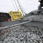





Counting salmon in Alaska has been done the same way since the 1950s.
A field biologist climbs a tower, counts the number of fish swimming through the area every 10 minutes on the hour, hops down and into a skiff, moves to the opposite bank, and counts for another 10 minutes. They then spend 40 minutes reporting that data – just to do it all again the next hour.
Norman Van Vactor, a Dillingham, Alaska, U.S.A.-based marine scientist, knew there could be a better way to conduct this process utilizing technology.
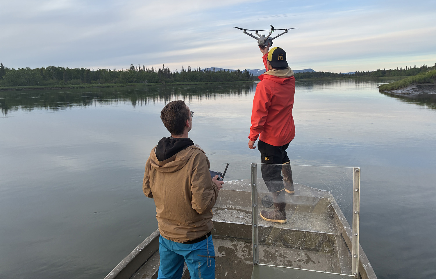
Thanks to the Bristol Bay Regional Seafood Development Association (BBRSDA), a USD 70,000 (EUR 61,201) ACME Climate Grant award, and a USD 120,000 (EUR 104,910) grant from the Bristol Bay Economic Development Corporation (BBEDC) – the latter organization of which Van Vactor used to serve as CEO – a team of interns, project managers, and software developers were able to buy two solar-powered drones to run a pilot project on the Wood River.
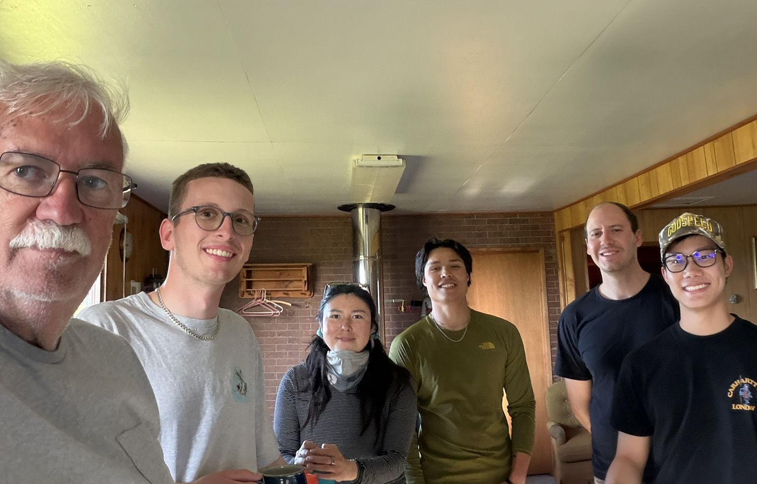
The project was deployed in three phases.
The first phase involved 256 drone flights that captured 17,552 individual images of salmon swimming. Van Vactor's team of three interns was then able to take those images and create 117 orthomosaics, which condensed and stitched together numerous photos into one user-friendly image for cross-comparison, all of which took place on the Wood River "right where the fish come out of muddy water," Van Vactor said.
Strategically placing the cameras in this location allowed the team to identify fish "anywhere from 12 to 18 hours before those fish would have been counted at the counting tower."
"Someone like [Alaska Department of Fish and Game Fisheries Management Biologist] Tim Sands, he can hop in an airplane and fly the Wood River or the Nushagak, and based upon his 30 years of experience can go, 'Well, that's a lot of fish. That's probably 300,000 fish.' But, that's institutional knowledge that's been developed over years," Van Vactor said. "The new person coming in, that's not information that's going to be translatable. Our hope is that with what we're doing, we can actually have a process – a mathematical scientific process – in place that says that's actually 256,755 fish with a confidence level of 90 percent."
In the second phase, the team relocated close to the actual counting towers for additional data collection.
Once photos were taken in the two test phases using the solar-powered drones – named Chinook 1 and Sockeye 1 – data was uploaded directly into Amazon Cloud Services, which went to a software startup named Project Kiwi to be aggregated onto a dashboard.
"This is all being done in open-source software, so the intent is that there are no hidden agendas here," Van Vactor said. "[Project Kiwi is] not making any money out of this. Manufacturers [are] not making money out of this. BBRSDA isn't.”
The last phase begins next month, and Van Vactor said the team will take the data to work in tandem with creek systems through the University of Alaska Fisheries Research Institute’s program for escapement surveys.
“We really hope that at the end of the day, this is probably going to require a two-year project; this is year one. I think the hope is that … we're going to have a fantastic working product that we could hand off specifically to the Alaska Department of Fish and Game," Van Vactor said.
Conditions on the towers while manually fish counting make it "one of the hardest jobs out there," Van Vactor said, citing long hours, high climbs, scant visibility, polarized lenses not eliminating total glare, and choppy surface conditions.
In the past, field researchers held a clicker and struggled to click fast enough to count the salmon passing through the area as they arrived in such extreme droves.
"You have to be very subjective because, again, they're coming by in massive waves," Van Vactor said. "[Rows are] 11 to 14 fish wide, head to tail, traveling at a mile an hour right in front of you crossing that imaginary line. It just strikes me as the perfect application for machine learning where a computer doesn't get fatigued … like the rest of us do."
Van Vactor explained this project has been in the works since 2024, but due to pulled funding, it was put on pause until BBEDC's grant funding came in. He said he was inspired to marry salmon enumeration and AI technology because eliminating human error and providing more detailed data to fisheries managers is something he sees as vital during "down years."
The drones were bought from a Chinese company called DJI, and each drone weighs about 105 pounds, Van Vactor said. The box can be placed "literally anywhere, even out in the middle of the tundra" and hooks up to a lithium battery and solar panels. It can also be remotely operated and runs off a scheduled deployment time.
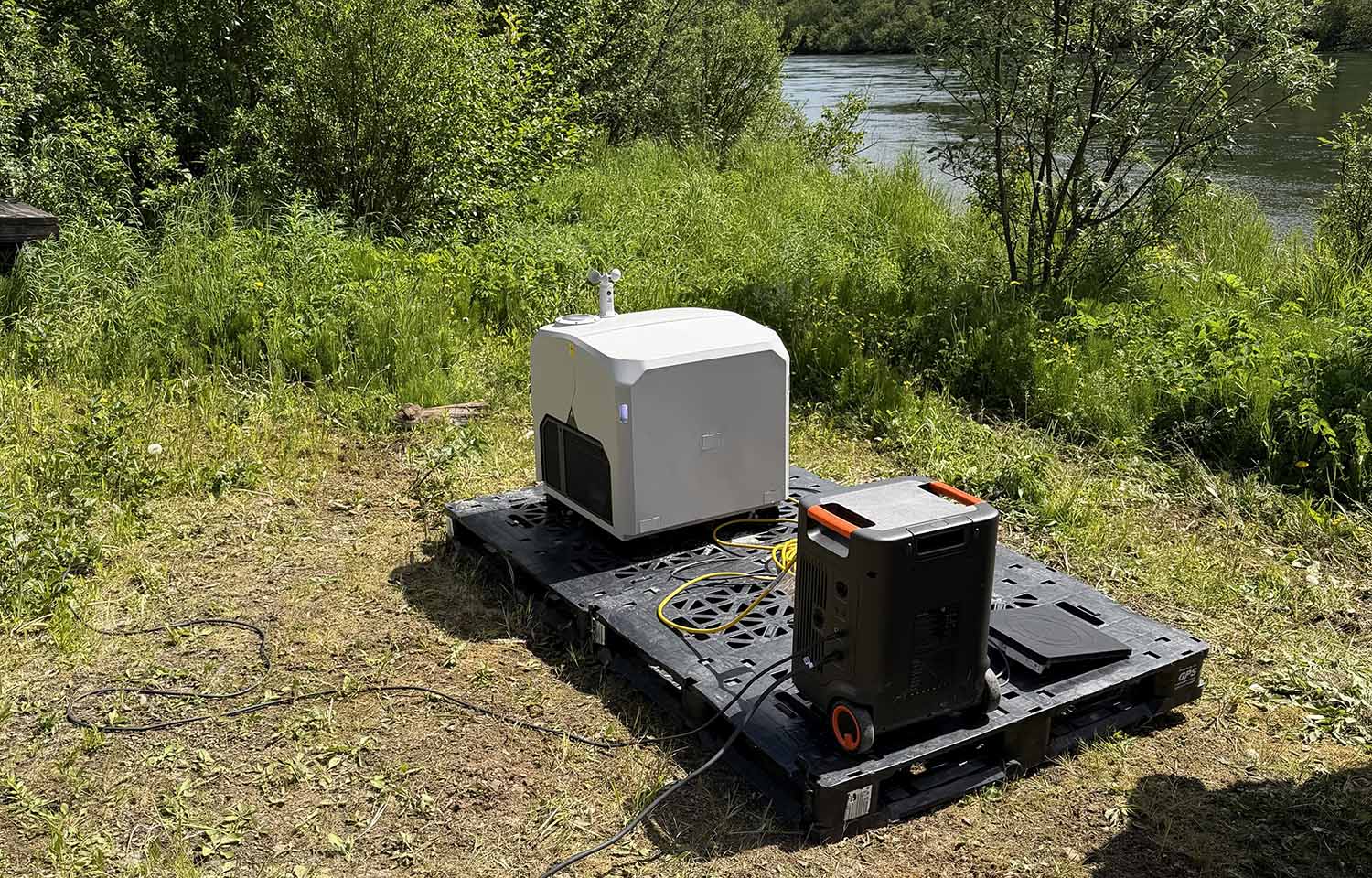
Once the 10-minute data collection period is complete, the drone flies back to the box, lowers itself in, and depending on weather conditions, it's either heated or cooled off, cleaned, recharged, and data is synced to the Amazon Cloud Services database. The drone is also immune to severe weather conditions, which in the past might have limited data collection.
Van Vactor said during the test phases, flights were conducted in rain and dealt with 52-mile-per-hour winds.
"This is science at its best," he said. "The results have exceeded my expectations."
