


China appears to have installed a floating barrier around Scarborough Shoal to further seal its claims of ownership over the disputed territory, while the Philippines’ top military official suggested China may intend to transform the shoal into another artificial island.
On 20 October, SeaLight Director Ray Powell released commercial satellite imagery taken by satellite operator Satellogic on 8 October he claimed shows an “illegal floating barrier” installed at the mouth of Scarborough Shoal.
“New satellite imagery shows an illegal floating barrier installed by the People’s Republic of China at the mouth of Scarborough Shoal,” Luke Fischer, the CEO of satellite data company SkyFi, noted in a comment on X. “This kind of monitoring is exactly what platforms like ours make possible: giving journalists, researchers, and governments the ability to expose violations that might otherwise go unseen. The 2016 Hague ruling between the Philippines and China found that China had unlawfully prevented Filipino fishermen from traditional fishing in this area. Nearly a decade later, high-resolution imagery continues to play a critical role in documenting those same unlawful actions.”
The Scarborough Shoal has been a hotspot in the long-running territorial dispute between China and the Philippines over fishing rights in the South China Sea. While the Philippines maintains that its commercial fishers should be allowed to continue operating in parts of the South China Sea and around the shoal – a 2016 arbitration ruling determined that China was illegally blocking Filipino fishers from accessing traditional fishing areas – China claims sole dominion and has taken aggressive actions to block and discourage Filipino fishers and military vessels from entering the area. China military vessels have used water cannons and risky maneuvers on Filipino vessels, leading to multiple collisions and close calls. The United States has sided with the Philippines in the dispute.
In September, China declared the shoal would be a nature reserve.
The Filipino government refers to Scarborough Shoal as Bajo de Masinloc, while China calls it Huangyan Dao.
On 23 October, Defense Secretary Gilberto Teodoro Jr. suggested that China’s reference to the shoal as Huangyan Island was a “Freudian slip,” with China secretly planning to turn the shoal into yet another artificial island in the South China Sea. China has created multiple artificial islands in the South China Sea as it seeks to increase its territorial control of the disputed area.
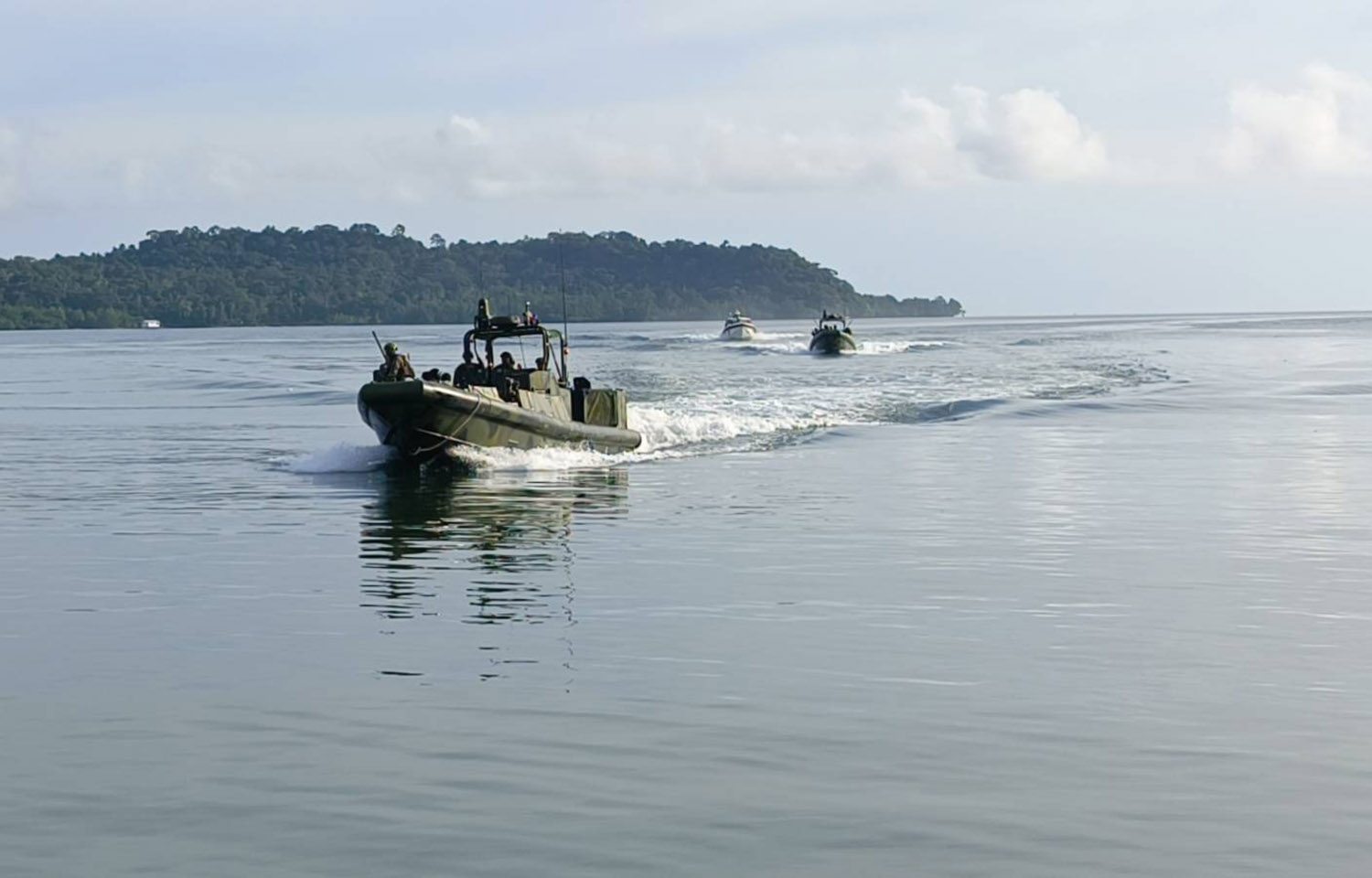
Earlier in October, the Philippine Coast Guard conducted joint trainings on defending Balabac Island with the United States Marine Corps to ensure hostile forces cannot establish a foothold there. The country plans to establish a new military base there in support of operations in the South China Sea.
The Philippines Information Agency recently promoted a poll from We Protect our Seas (WPS) Foundation conducted by OCTA Research that 80 percent of adult Filipinos “continue to back the government’s policy of transparency in exposing Chinese coercive actions in the West Philippine Sea.”
“The data underscores that Filipinos recognize the critical role of transparency in defending our national interests and upholding international law,” WPS President and CEO Jeffrey Ordaniel said in a release. “Transparency is not a mere communication strategy – it is a prerequisite for effectively countering Beijing’s unlawful actions in the South China Sea. By publicly exposing China’s coercive and aggressive behavior, the Philippines achieves several strategic objectives.”